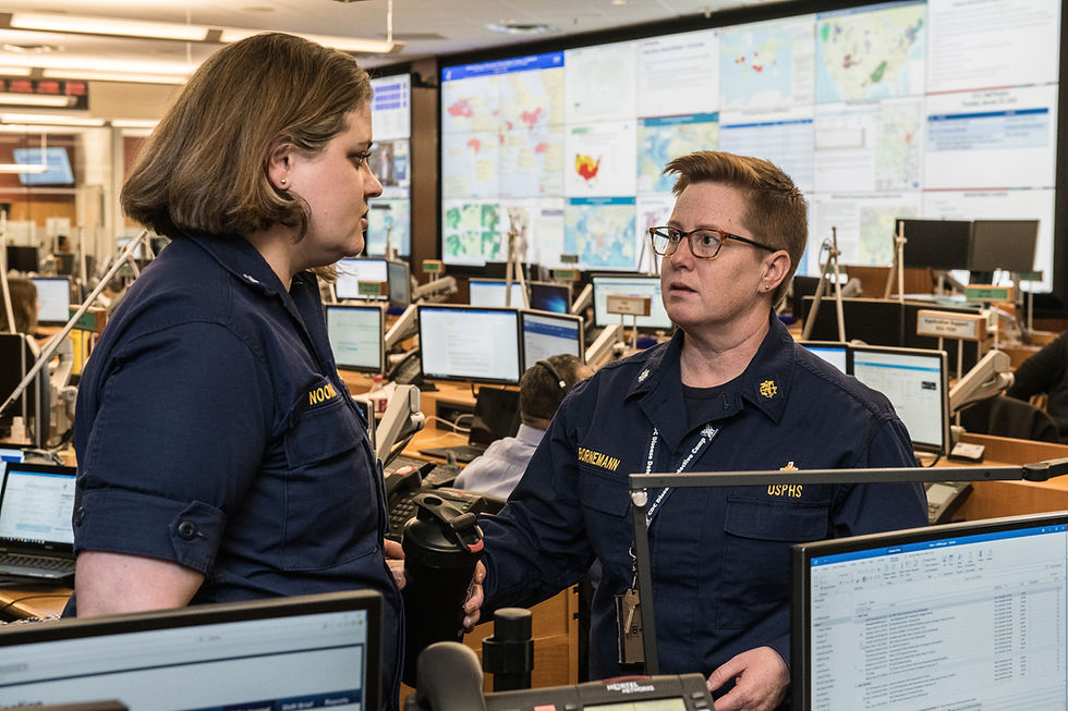
Geographical Information System (GIS) Applications are widely used in monitoring the status of any emergency within the Operations Center room of any Utility company. Traditionally, GIS applications in Utilities are a big monolith with data being huge and the performance being slow. When there is a critical need to crunch large volumes of existing GIS data with network relationship, married with large inflow of streaming situational awareness data, during an emergency, traditional GIS applications fail.
Geospatial cloud solutions such as ArcGIS online may provide a way to host your proprietary data mashed with external streams of real time data from departments such as CalFire, CalTrans, Waze, CDC, meteorology etc. The real challenge is still being able to build a nimble custom application for specific emergency needs such as locating a staging area for response, prioritizing system outage or shut-off, contacting the customers, monitoring the status of the customer etc. Collating GIS data and personnel within the company who has the knowledge of this data is another significant challenge during emergency response.
Having a solution partner who can understand the urgency of your needs, build GIS solutions swiftly for current emergencies as well as plan for future emergencies is super critical for your IT department to help your business succeed.

Comentários